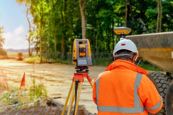
Surveying and mapping is the professional practice of determining the terrestrial positions of points on or near the Earth’s surface through measurements of distance, direction, and elevation. This process produces maps and data crucial for land development, construction, boundary determination, and managing geospatial information. It utilizes a variety of technologies, including GPS, drones, and total stations, in conjunction with disciplines like cartography, photogrammetry, and geographic information systems (GIS).