Topographical Survey
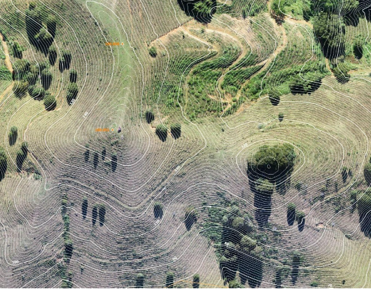
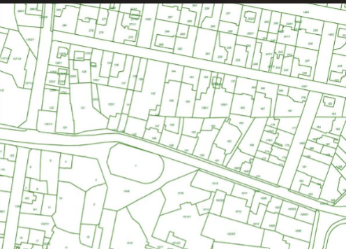
A topographical survey, or topo survey, maps the natural and
man-made features of a land area. It provides detailed information on elevation
changes, contours, rivers, roads, and other physical attributes. Topographical surveys
are essential in urban planning, engineering design, and landscape architecture,
offering a thorough view of the land’s current conditions for informed decision-
making in development projects.